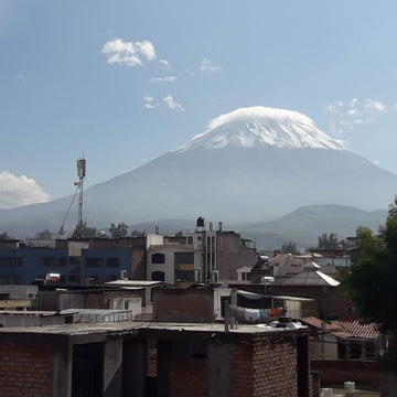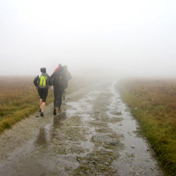

A week of heavy rain, thenglorious sunshine, then thick cloud and more rainhas reminded us of how temperamental British summertime can be....
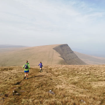
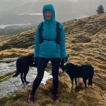
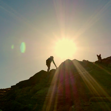
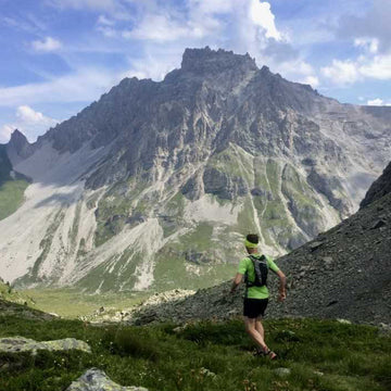
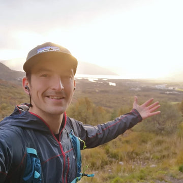
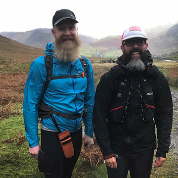
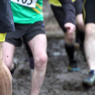
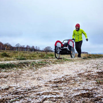
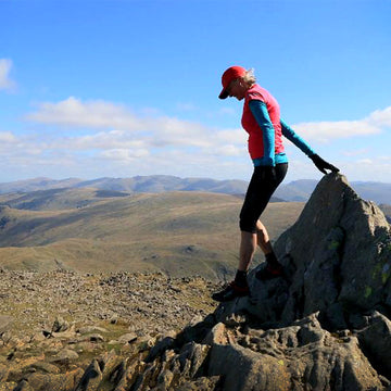
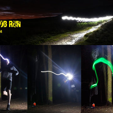
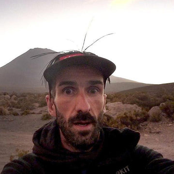
Alpkit buyer Dave isAlpkit's most proficient fell runner, so we sent him up on to theKinder Plateau, out in the Peak District,in search of the elusive ‘seven minute Kinder crossing’.
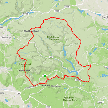
I’d never actually heard of the ‘7 minute crossing’ until recently, but looking back at old runs I must have done it a few times unknowingly. Navigation on top of the Kinder Plateau can be difficult, lack of visual cues, the deep ditches and twisting streams make going in a straight line tricky. Although even at its widest you can only really be 1.5km from the plateau edge, so pick a direction and follow it until you reach the perimeter path is always a reasonable escape plan.
Eager to test its legitimacy earlier in April I set off from Edale, compass and mobile in hand and not a lot else. I messed it up – I ran up Grindsbrook Clough, turned right and then too quickly turned le onto the plateau, realizing my mistake about ten minutes and no edge later. I did find another helpful path across the middle, linking Grinds Brook and Fair Brook but as for the illusive seven minuter, I did a bit more research and eventually cracked it.
The sneaky shortcut across Kinder goes between Blackden Brook on the northern edge, to Golden Clough. There are a multitude of little ‘trods’ that might be followable between the two, but the most reliable goes from the stream crossing nearest Nether Tor. Follow the stream bed north then keep on the most promising looking path directly north. In about seven minutes you should pop out of the bogs overlooking Blackden Moor. Going the other way it’s a little less obvious, but if you count six stream crossings east of the Blackden Brook path you won’t go too far wrong.
I do recommend taking a compass. Having seen a group trying to cross Kinder using Google Maps, I played around with the compass app on my phone. For about 500m I followed what it told me was a northwards bearing but it turned out to be much closer to NW and had me in line for the longest straight route possible on the plateau. As well as a real compass, a basic OS grid reference app has been helpful when I haven’t wanted to hang around working out where I am using the traditional ways."
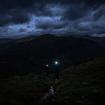
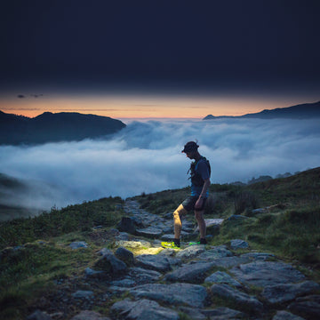
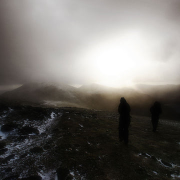
There we had Dave juggling modern and traditional navigational tools from mobile to compass to stream beds, so in conditions where even following a marked footpath is challenging, how to we keep on Going Nice Places and Doing Good Things without getting lost?
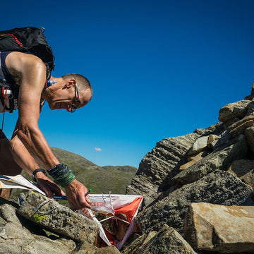
We consulted another Dave, Dave Taylor from Fell Running Guide to make sure our navigation was up to scratch.
Although most of us have the foresight to carry a map and compass when out on an adventure, whether or not we use it is a completely different story. Let's be honest, we tend to leave our maps folded neatly in the bottoms of out rucksacks until we're already lost, and by then it's usually a little too late. According to Dave, we should be using a map and compass to avoid going astray in the first place.
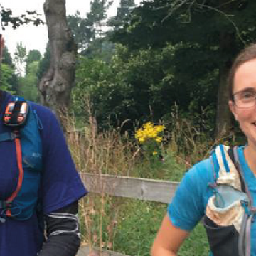
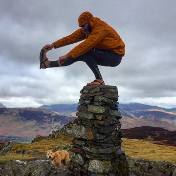
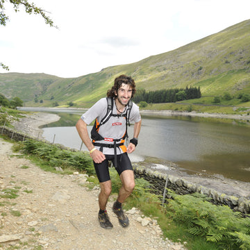
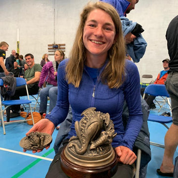
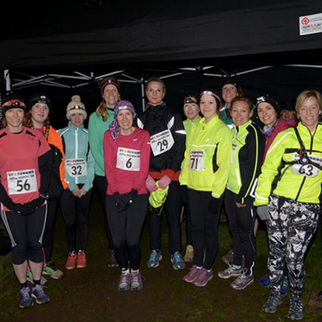
Lola from Alpkit Hathersage brushing up on her nav skills with Dave Taylor
In fact, map reading should begin before you even walk out of the front door. Good navigation involves doing your homework by studying the route and identifying key aspects and features beforehand. Got a bad memory? Write down details on your map, your hand, your friend's face - where ever you can easily see them. If you've got a good memory your should probably note things down too, it doesn't hurt to have a back up if your memory fails you.
When you're looking at your route on a map it can be tricky to envisage what features will help you out when the mist rolls in. Dave Taylor reckons the fours 'D's will make sure you find the way forward:
-
Direction: What direction should you be heading in at different points in the journey? This could be an approximately North-West or a more precise 38 degrees.
-
Distance: How far is it between each notable point in your route?
-
Details: These are notable features that you can use as 'checkpoints' for each stage of your journey. Think inclines, flat terrain, marshland, forest, streams, valleys, walls, and roads. You should not only identify details of your route, but a few notable 'off-route' features to tell you that you've overshot or taken the wrong path too.
-
Duration: How long do you think it should take you to reach each notable feature or 'checkpoint' on your route, being realistic helps for this step, and you should take terrain into account when estimating timings.
Equipped with the 4 'D's, your map in one hand, and a compass in the other, your should be able to navigate your route with your eyes closed. Well, maybe not with your eyes closed, but you catch our drift…
First Aid and Emergency
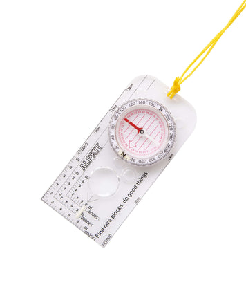
Expedition compass with clear and precise markings when navigating
£14.99
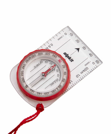
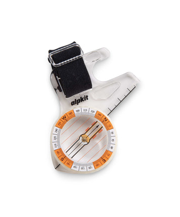
Orienteering and fell running compass with adjustable thumb strap
£14.99
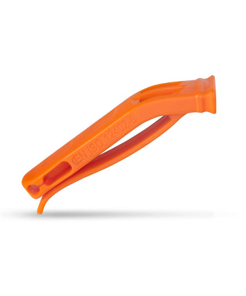
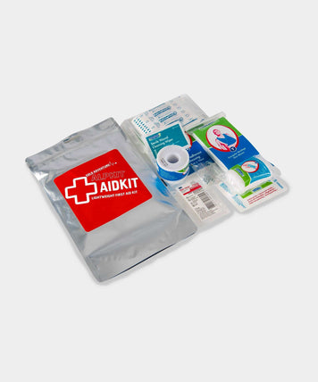
Race requirements kit in re-sealable foil bag for on-the-hill emergencies
£9.99
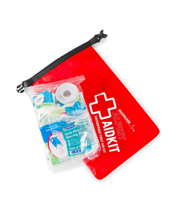
Comprehensive emergency first aid kit in a roll-top waterproof bag
£22.99
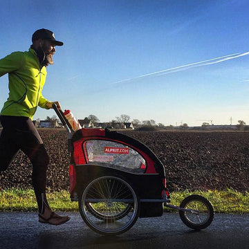
Mountain Journal Entries